(1)
Urban accessibility and transit-oriented development
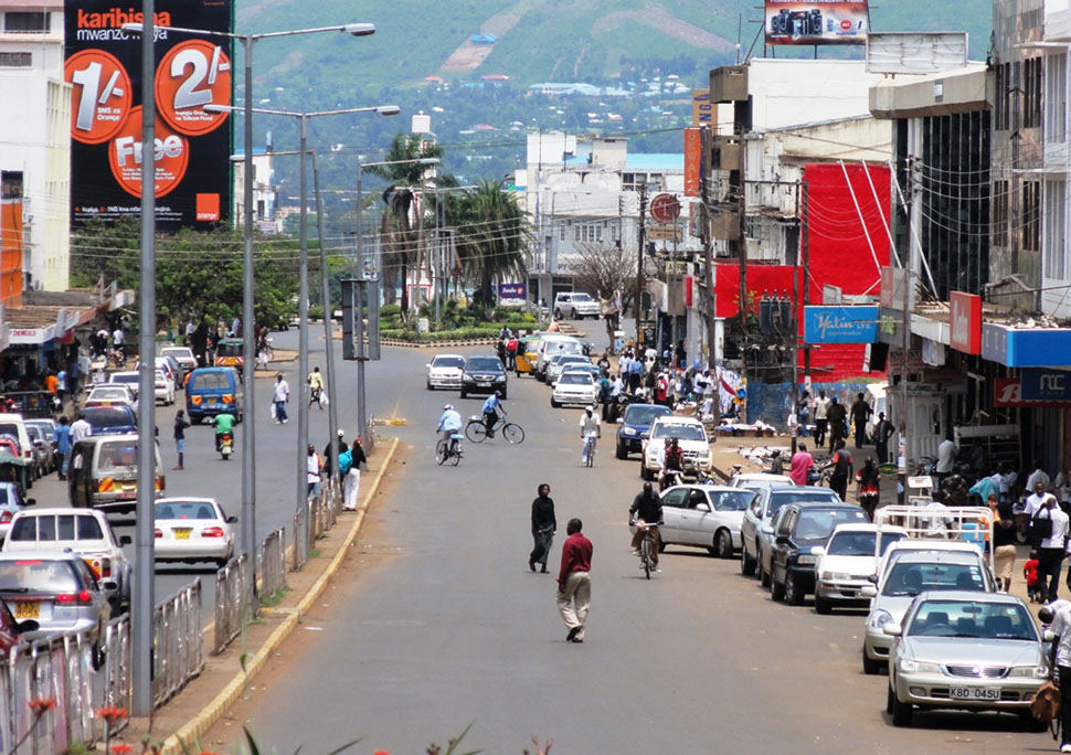
The project was designed to aid increased accessibility through improving urban transport systems and promoting transit-oriented development. Outlined activities at the inception were envisaged to involve: mapping key land uses within the city, preparing a transport infrastructure map, identifying key transit corridors and developing model TOD scenarios and models.
The work was envisaged to follow one transport corridor but due to interconnectivity of transport system the scope has increased to include other parts of the city report.
Progress on work structure:
• Mapping of land use structure within Kisumu completed
• Transport infrastructure map being developed
• Profiling of key transit intersections for development currently ongoing.
Photo by: Haris Kadic